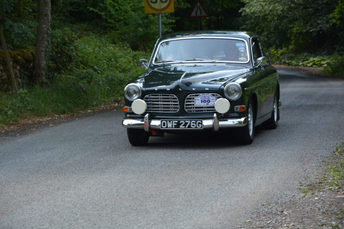
As you know the Lancashire Automobile Club organises several road runs (known as touring assemblies) every year. These are non competitive events taking in some of the finest roads in the north of England and further afield.
Several people have asked how the route directions are given. Well the answer is we use several formats in what we call Route Books. These range from simple written directions, tulip Road Books and Navigational directions.
Leaving the latter aside (these are used only on the Fellsman event and that has alternative Route Books for those not comfortable with full navigation) the normal route book is the Tulip style as used on the St Georges Day Run and Coast to Coast.
Please click on this link to see a Route Book from a previous event.
As you can see the Route Book has a number of columns going from left to right we have:
Total Miles – distance from last Control
Inter Miles – distance between instructions. we tend to use the previous tenth of a mile rather than going to the next full tenth so 3.76 miles would be shown as 3.70 rather than 3.80. This is because we think you should tell you to look out for a junction a little before rather than after it!
Diagram – this is the famous ‘Tulip’ it is simply a pictogram of the junction you enter from the blob at the bottom and leave by the arrow (think of the blob as the tulip bulb and the arrow as the flower any other roads are shown as leaves). So to turn right at a crossroads the pictogram is shown as a cross with the blob at the base and the arrow to the right. If there were traffic lights we would have a little picture of a traffic light or if there was a landmark (normally a pub) we would show it’s location as a little black rectangle, the landmark would be named under Location.
Location – place name could be the location of a control, name of a landmark or the name of a village the route passes through or (if in a box) the location of a place name sign. The last is useful as it can confirm you are on the right road after a complex junction without you travelling to far in the wrong direction or simply to reset you mileage after a long road section to enable finding the next junction easier. We also show Stop and Give Way Signs
Instruction – this is the full written direction for the junction. So in the case of our crossroads the Instruction would be “Turn right at Crossroads” (if there is a signpost we would include that as well so that could be Turn Right at Crossroads SP Mellor).
The whole idea is that we don’t want entrants to get lost so that can really enjoy the day.
We often also have a Route Information Book which tells entrants something about the places they drive through on the event. You can read these on the day or save them for later. See this link
St Georges Day 2019 Route Information
Hope that makes things a little clearer and perhaps we will see you out on one of our events in 2023

